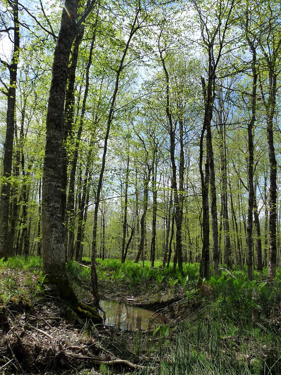
A remarkable story was published this past week:
Finding The Mother Tree: Discovering The Wisdom Of The Forest by Suzanne Simard, 368 pages, Published:May 4, 2021, by Penguin Random House. Listed at $Can $34.95
It’s remarkable in many respects: as a scientific story that is effecting a “paradigm change” in how we think about forest ecosystems; as a very personal story that intersects with the author’s own health challenges; as a story that revealed/confirmed indigenous perspectives on forest communities; and very much more. For a quick review, read Finding the Mother Tree by Suzanne Simard review – a journey of passion and introspection
Tiffany Francis-Baker in The Guardian, May 8, 2021. Also view A pioneering forest researcher’s memoir describes ‘Finding the Mother Tree’, a CBC April 30, 2021 article and interview.
Continue reading