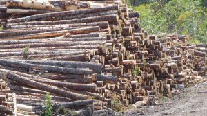
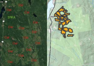
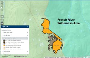
 With promises of “the right balance” at some time in the future, clearcutting on Crown land continues unabated including cuts close to Protected Areas. The latest announcement cites plans for 67 parcels, 52 of which are 1-stage clearcuts, 15 are partial cuts. As usual, they include cuts on the border of a Protected Area, in this case that of the French River Wilderness Area in Victoria Co., Cape Breton.
The latest (July 4) and the previous (June 22) announcement give 40 days for review, while all earlier ones allowed only 20 days which is the standard interval cited on the description of the Harvest Operation Maps. The following information about this change was given in the e-mail that accompanied the list for the June 22 announcements:
Please note this change regarding the Harvest Plan Map Viewer: We are temporarily extending the commenting period for the planned forest harvests which are open for comment today on the Harvest Plan Map Viewer. This will ensure the department’s response to any concerns raised is not affected by this time of government transition. The expanded comment period will apply to harvest plans currently open for comments on the map viewer, and those that were closing for comments yesterday. It will also apply to new harvest plans added during today’s scheduled update. All these posted harvest plans will remain open to comments from the public for an additional period beyond the standard commenting period of twenty days. Concerns brought forward are considered during the planning process.
