[Post updated Nov 13, 2016: Global Forest Watch images added.]
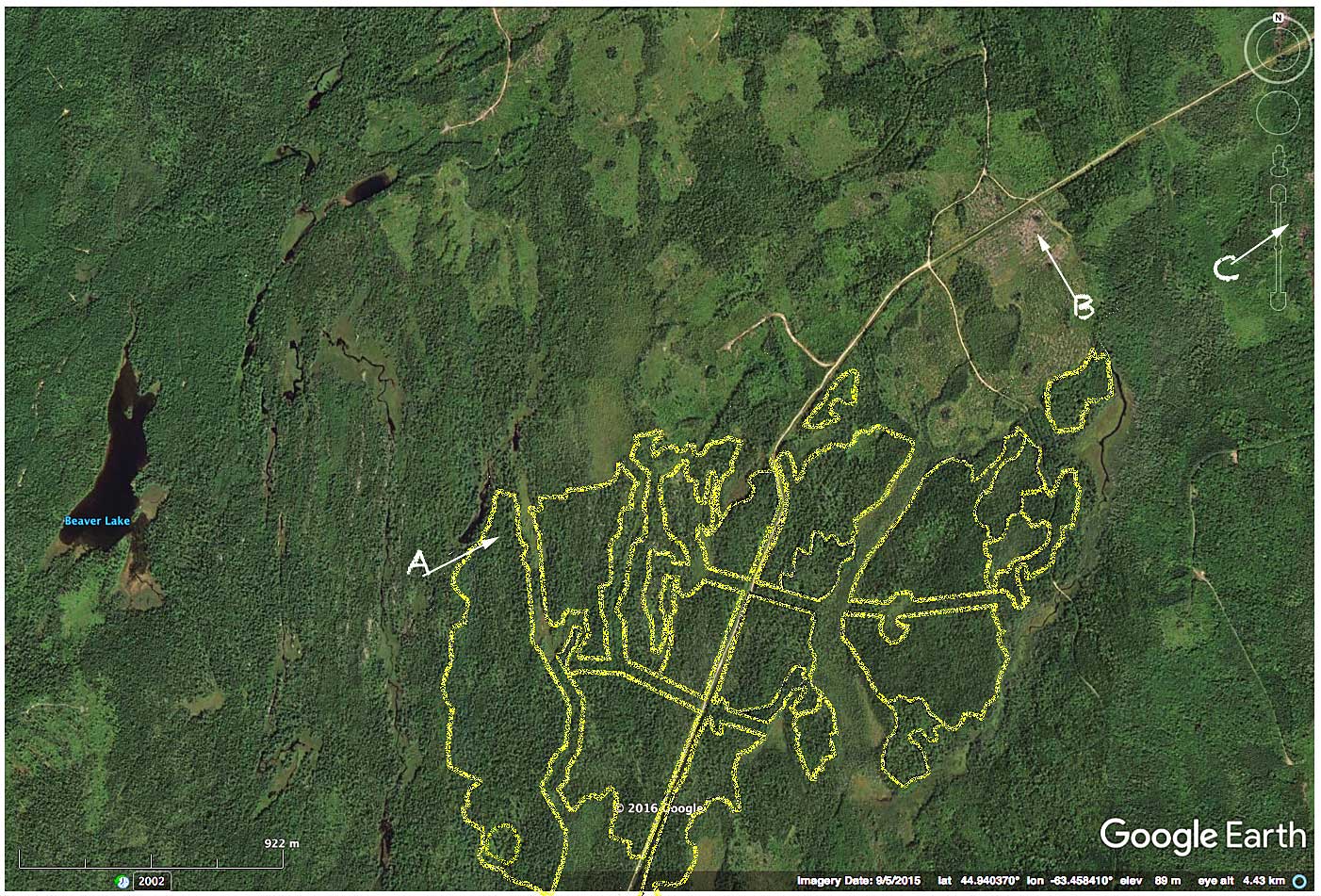
Crown landscape approx. 5 km northeast of Halifax Airport. Yellow lines are approximate boundaries of Block ID HX060122 for which a clearcut is planned. A, B and C refer to the landscape views below. The landscape has been intensively cut to the north and northeast.
Have a look at the much touted vehicle of transparency around cutting on crown land in Nova Scotia: the Harvest Map Viewer (or go to the cover page for the viewer). Pick one of the those dark blotches, zero in and have a look. I did.
Then I looked on Global Forest Watch and Google Earth to see what else had been clearcut on the same landscape in recent years. (You can also go directly to the area in Google Maps). It wasn’t comforting. Continue reading